East Oʻahu
Makapuʻu
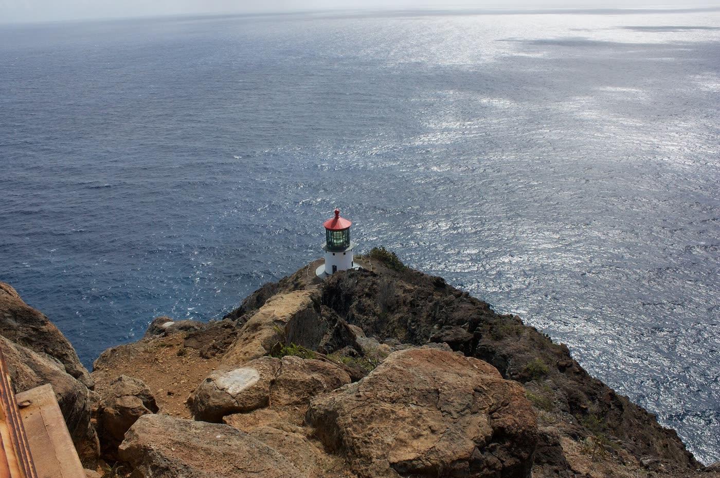
Photograph by Ewen Roberts · CC BY 2.0. All photo credits

Towns · East Oʻahu
Makapuʻu is the headland between Sandy Beach and Waimānalo, inside Kaiwi State Scenic Shoreline. The town anchor is the OpenStreetMap point for Makapuu Beach Park, which is not the same as the lighthouse lookout.
Map center: OpenStreetMap geocode of Makapuu Beach Park, checked Nov 7, 2026.
Outline and pins use OpenStreetMap coordinates. The outline is a simplified island shape, not a navigation chart. Pins that share an address are nudged so each one can be opened. Distances use the original coordinates. No tile server and no paid map.
Nearby town pages
- Hawaiʻi Kai 3.7 miles between map centers
- St. Louis Heights 9.3 miles between map centers
- Kaimukī 9.4 miles between map centers
- Mānoa 9.8 miles between map centers