East Honolulu
Hawaiʻi Kai
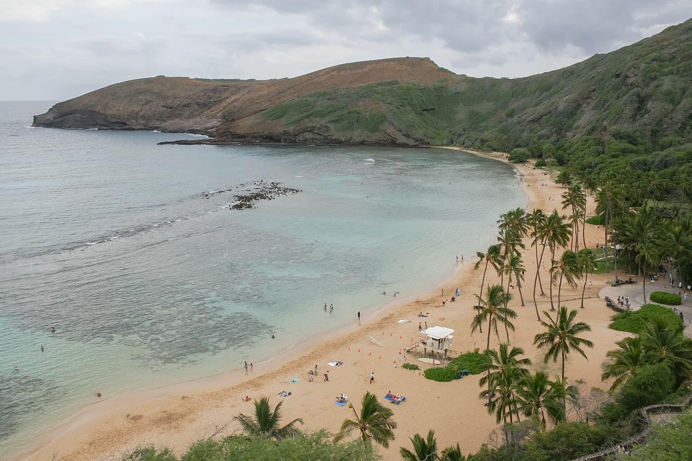
Photograph by Diego Delso · CC BY-SA 3.0. All photo credits

Towns · East Honolulu
Hawaiʻi Kai is the marina community west of Hanauma Bay and Koko Crater. The crater tramway is reached through Koko Head District Park.
Map center: OpenStreetMap place point for Hawaiʻi Kai, checked Nov 7, 2026.
Diego Delso · CC BY-SA 3.0
Hanauma Bay Nature Preserve
Hawaiʻi Kai
A city nature preserve and snorkeling bay in east Honolulu. Entry is Wednesday through Sunday. Non-residents pay an entry fee. Every visitor watches the education film on each visit.
Koko Crater tramway
Hawaiʻi Kai
The old military tramway up Koko Crater, reached through Koko Head District Park. The city said it reopened July 10, 2025 and told people to stay on the tramway and obey caution tape around summit bunkers.
Outline and pins use OpenStreetMap coordinates. The outline is a simplified island shape, not a navigation chart. Pins that share an address are nudged so each one can be opened. Distances use the original coordinates. No tile server and no paid map.
Nearby town pages
- Makapuʻu 3.7 miles between map centers
- Kaimukī 5.9 miles between map centers
- St. Louis Heights 6.1 miles between map centers
- Kapahulu 6.6 miles between map centers