Checked catalog
Hikes
State Parks trails with published lengths, plus a few Nā Ala Hele entries where the current record is a status rather than a mileage. Permission is separate from conditions. Nothing here is called safe.
11 places · closure notices hidden
Farragutful · CC BY-SA 4.0
Diamond Head Summit Trail
Diamond Head
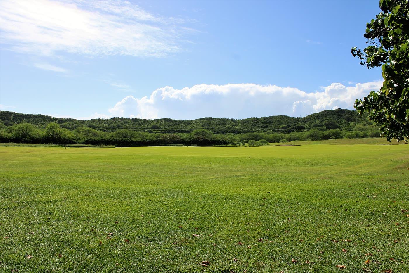
The summit walk inside Diamond Head (Lēʻahi) State Monument. State Parks says it is 0.8 miles from the trailhead to the summit, with 560 feet of gain, stairs, and a tunnel. Non-residents need a reservation.
ʻAiea Loop Trail
ʻAiea
A 4.8-mile loop in Keaīwa Heiau State Recreation Area. State Parks rates it easy to moderate, with 900 feet of gain, a steep switchback, and a stream crossing. A trailhead geocode did not return, so there is no pin.
ʻUalakaʻa Trail
Tantalus
A short forest loop in Puʻu ʻUalakaʻa State Wayside. State Parks lists 0.53 miles, easy, 400 feet of gain, and calls it a good family trail. A geocode of the wayside itself did not return, so there is no pin.
Janine · CC BY 2.0
Kaʻena Point Trail
Mokulēʻia
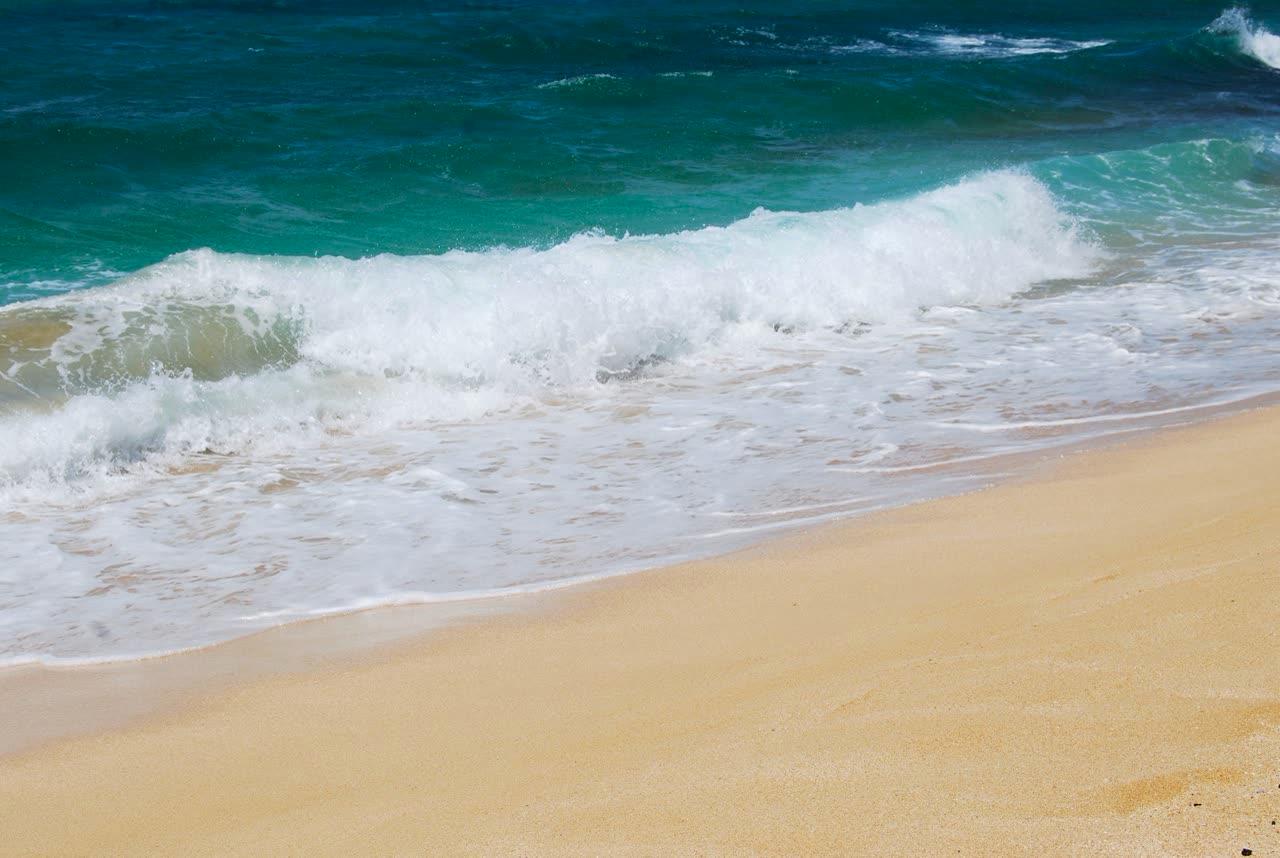
A coastal walk to Kaʻena Point Natural Area Reserve. State Parks lists 2.5 miles one way from either the Mokulēʻia end or the Keawaʻula end, moderate difficulty, with negligible elevation gain. The Keawaʻula approach was under a posted closure when this page was checked.
Kapaʻeleʻele Trail
Kahana
A 1.2-mile round trip on the west side of Kahana Bay, past a fishing shrine and a lookout. State Parks rates it easy to moderate, with 130 feet of gain, and says one section is steep and can be slippery.
Keālia Trail
Mokulēʻia
A Nā Ala Hele trail the Oct. 19, 2026 advisory agenda specifically calls open after storm damage. Route mileage and gate hours are not copied from older maps.
Koko Crater tramway
Hawaiʻi Kai
The old military tramway up Koko Crater, reached through Koko Head District Park. The city said it reopened July 10, 2025 and told people to stay on the tramway and obey caution tape around summit bunkers.
Ewen Roberts · CC BY 2.0
Makapuʻu Point Lighthouse Trail
Makapuʻu
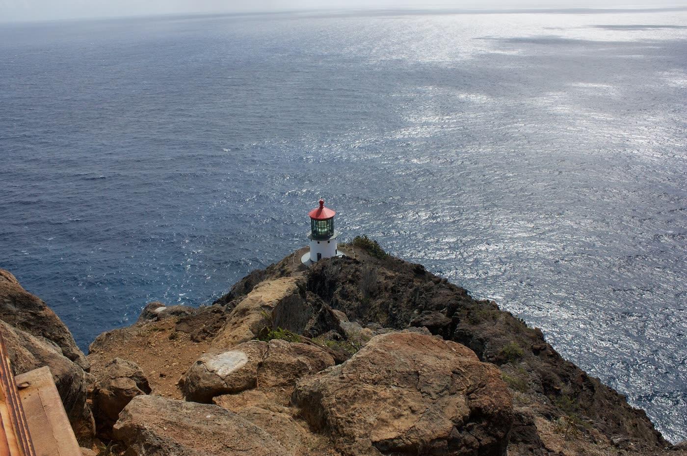
A paved former lighthouse road in Kaiwi State Scenic Shoreline. State Parks lists it as 2.0 miles round trip, moderate, with 500 feet of gain. The lighthouse building is off-limits. The tide pools below are a closed area.
Joshmt · CC BY-SA 2.5
Mānoa Falls Trail
Mānoa
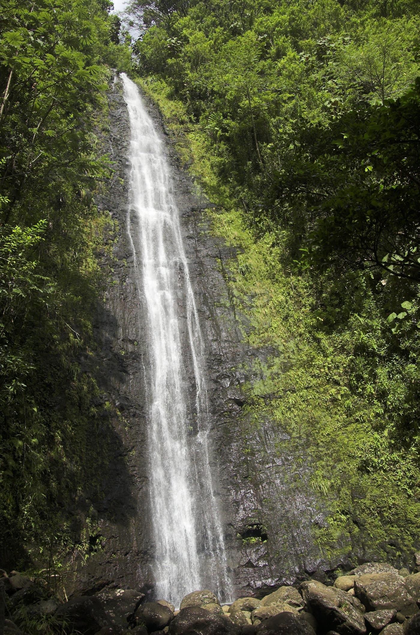
The Nā Ala Hele trail at the back of Mānoa Valley. It is on the current Oʻahu trail list. Storm damage and planned contract repairs were still on the Oct. 19, 2026 advisory agenda. Mileage is omitted because a current official length was not on the pages reviewed.
Nakoa Trail
Kahana
A 2.5-mile rainforest loop in Ahupuaʻa ʻO Kahana State Park with three unbridged stream crossings. State Parks rates it moderate to difficult and says it should not be started in heavy rain.
Waʻahila Ridge Trail
St. Louis Heights
A ridge walk from Waʻahila Ridge State Recreation Area between Mānoa and Pālolo. State Parks lists 2.4 miles, moderate to difficult, and 500 feet of gain. The summit beyond the Kolowalu junction is a restricted watershed.