Honolulu
Mānoa
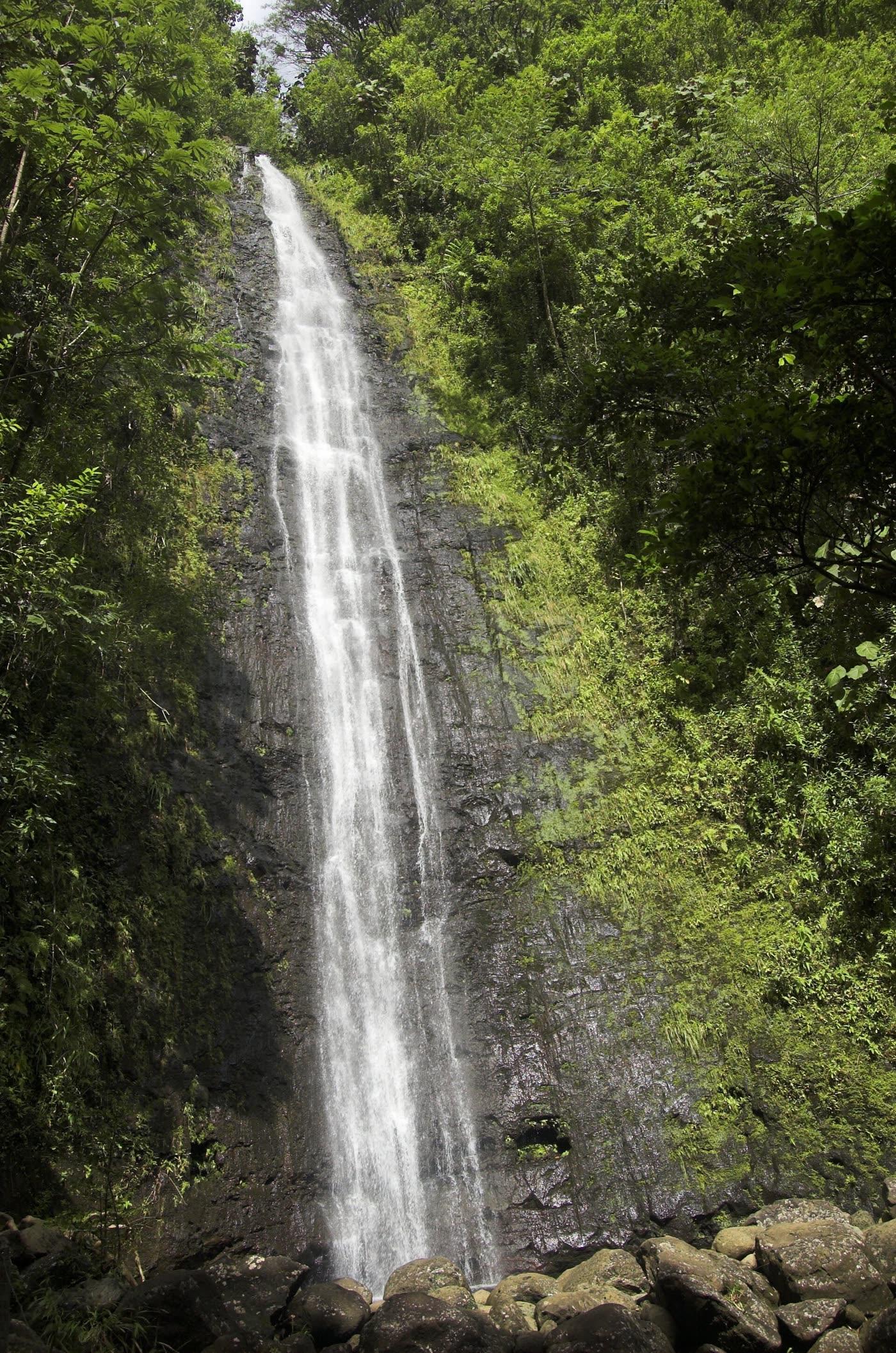
Photograph by Joshmt · CC BY-SA 2.5. All photo credits

Towns · Honolulu
Mānoa is the valley inland of the University of Hawaiʻi at Mānoa. Trail and coffee entries are placed here from agency or business sources, not from a complete valley directory.
Map center: OpenStreetMap place point for Mānoa, checked Nov 7, 2026.
Joshmt · CC BY-SA 2.5
Mānoa Falls Trail
Mānoa
The Nā Ala Hele trail at the back of Mānoa Valley. It is on the current Oʻahu trail list. Storm damage and planned contract repairs were still on the Oct. 19, 2026 advisory agenda. Mileage is omitted because a current official length was not on the pages reviewed.
Morning Glass Coffee
Mānoa
A Mānoa coffee shop that also serves breakfast and lunch. The site calls it a neighborhood restaurant focused on specialty coffee and house pastries.
Outline and pins use OpenStreetMap coordinates. The outline is a simplified island shape, not a navigation chart. Pins that share an address are nudged so each one can be opened. Distances use the original coordinates. No tile server and no paid map.
Nearby town pages
- St. Louis Heights 0.9 miles between map centers
- Mōʻiliʻili 1.3 miles between map centers
- Tantalus 1.6 miles between map centers
- Kapahulu 2.1 miles between map centers