Honolulu
Kapahulu
Photograph by Syced · CC0. All photo credits

Towns · Honolulu
Kapahulu is the neighborhood along Kapahulu Avenue between Waikīkī and Kaimukī. Entries here use addresses published by the businesses or, for the zoo, the OpenStreetMap record.
Map center: OpenStreetMap place point for Kapahulu, checked Nov 7, 2026.
Syced · CC0
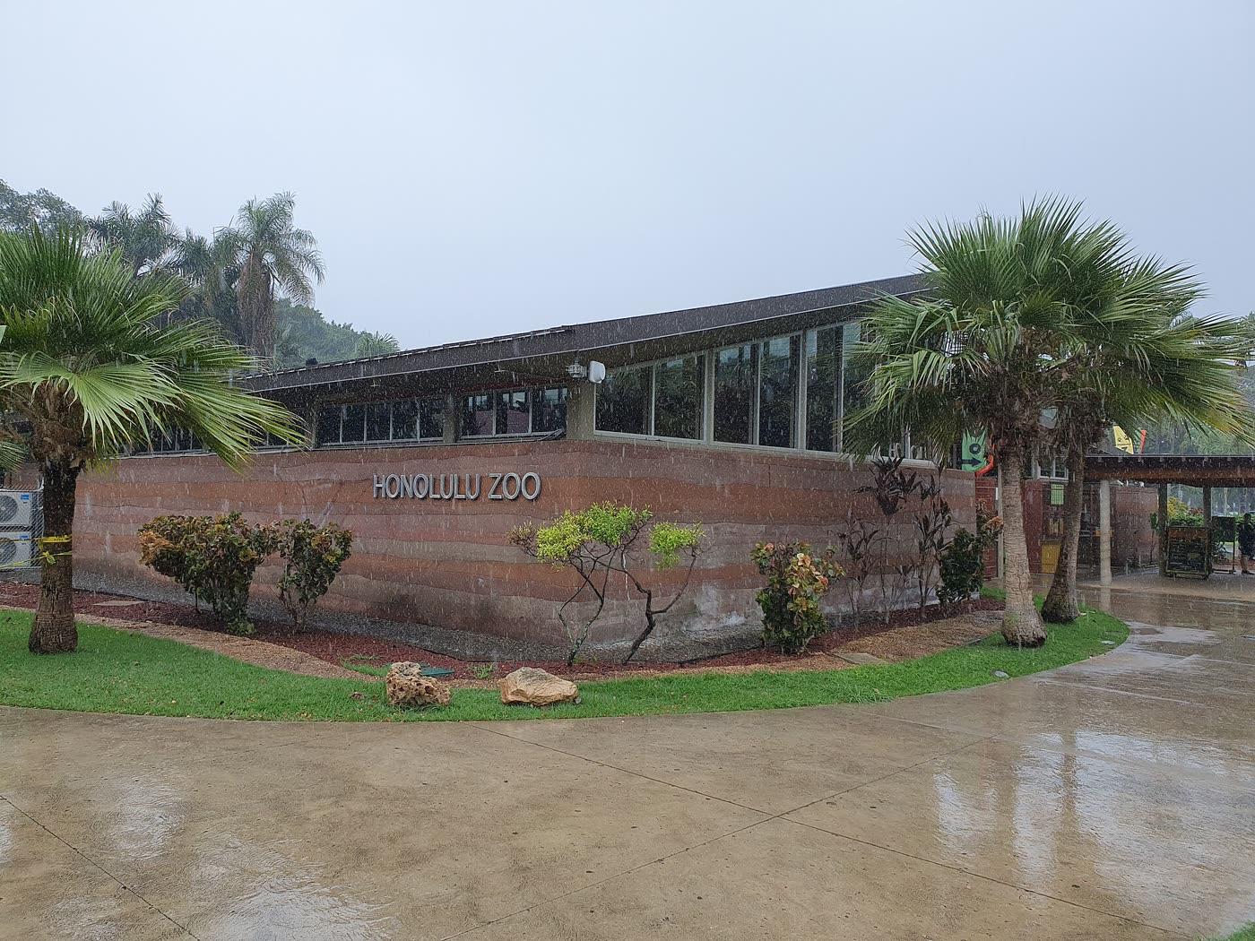
Honolulu Zoo
Kapahulu
The city zoo at the Diamond Head end of Waikīkī, which the zoo site calls a Waikīkī visit. The homepage lists daily hours. Ticket prices were not in the text captured, so they are not printed.
Leonard's Bakery
Kapahulu
A Kapahulu bakery known on its own site for malasadas. The homepage prints the address and daily hours.
Rainbow Drive-In Kapahulu
Kapahulu
The Kapahulu Rainbow Drive-In. The company site describes hearty plate lunches with two scoops of rice and macaroni salad, and says the stand opened in 1961.
Outline and pins use OpenStreetMap coordinates. The outline is a simplified island shape, not a navigation chart. Pins that share an address are nudged so each one can be opened. Distances use the original coordinates. No tile server and no paid map.
Nearby town pages
- Kaimukī 0.7 miles between map centers
- Waikīkī 1.0 miles between map centers
- Mōʻiliʻili 1.2 miles between map centers
- Diamond Head 1.4 miles between map centers