North Shore
Mokulēʻia
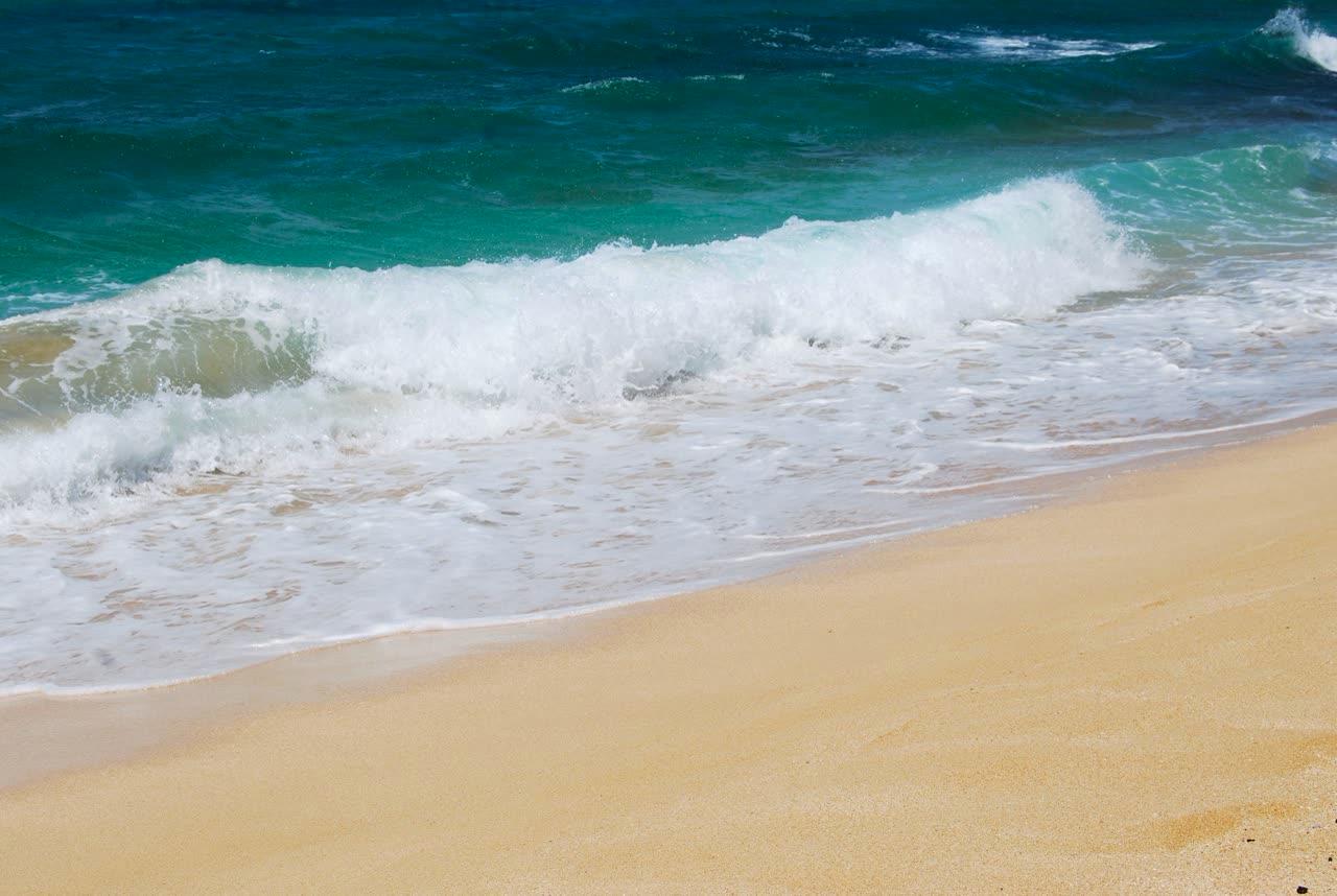
Photograph by Janine · CC BY 2.0. All photo credits

Towns · North Shore
Mokulēʻia is the North Shore community at the north end of the Waiʻanae range, including the north approach toward Kaʻena and the airfield used in older Keālia Trail directions.
Map center: OpenStreetMap place point for Mokulēʻia, checked Nov 7, 2026.
Janine · CC BY 2.0
Kaʻena Point Trail
Mokulēʻia
A coastal walk to Kaʻena Point Natural Area Reserve. State Parks lists 2.5 miles one way from either the Mokulēʻia end or the Keawaʻula end, moderate difficulty, with negligible elevation gain. The Keawaʻula approach was under a posted closure when this page was checked.
Keālia Trail
Mokulēʻia
A Nā Ala Hele trail the Oct. 19, 2026 advisory agenda specifically calls open after storm damage. Route mileage and gate hours are not copied from older maps.
Outline and pins use OpenStreetMap coordinates. The outline is a simplified island shape, not a navigation chart. Pins that share an address are nudged so each one can be opened. Distances use the original coordinates. No tile server and no paid map.
Nearby town pages
- Haleʻiwa 3.0 miles between map centers
- Waiʻanae 9.4 miles between map centers
- Sunset Beach 10.0 miles between map centers
- Lāʻie 14.9 miles between map centers