The map shows this catalog. Share a location only if you want distance from where you are. If you do not, pick a town. Town centers come from OpenStreetMap. They are not your device, and they are not a surveyed downtown hall unless the note says so.
Optional. The page works without it.
Sorted from Mokulēʻia, the manual fallback. This is the town’s map center, not a detected position.
3 places within 8 miles
Outline and pins use OpenStreetMap coordinates. The outline is a simplified island shape, not a navigation chart. Pins that share an address are nudged so each one can be opened. Distances use the original coordinates. No tile server and no paid map.
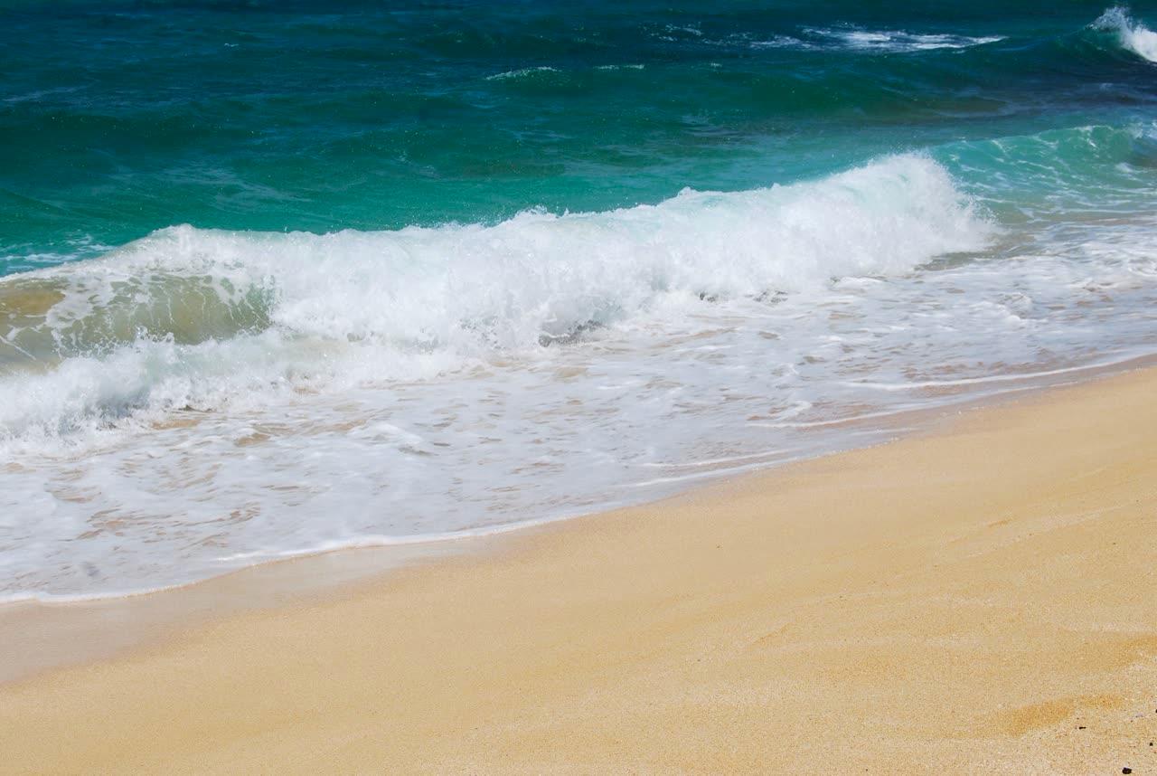
Janine · CC BY 2.0
Kaʻena Point Trail
Mokulēʻia · 2.8 mi
A coastal walk to Kaʻena Point Natural Area Reserve. State Parks lists 2.5 miles one way from either the Mokulēʻia end or the Keawaʻula end, moderate difficulty, with negligible elevation gain. The Keawaʻula approach was under a posted closure when this page was checked.
Keālia Trail
Mokulēʻia · 3.0 mi
A Nā Ala Hele trail the Oct. 19, 2026 advisory agenda specifically calls open after storm damage. Route mileage and gate hours are not copied from older maps.
Island Vintage Coffee, Haleʻiwa
Haleʻiwa · 3.1 mi
Island Vintage Coffee at Haleiwa Store Lots. The company says it is across from Matsumoto's Shave Ice.