The map shows this catalog. Share a location only if you want distance from where you are. If you do not, pick a town. Town centers come from OpenStreetMap. They are not your device, and they are not a surveyed downtown hall unless the note says so.
Optional. The page works without it.
Sorted from Makapuʻu, the manual fallback. This is the town’s map center, not a detected position.
3 places within 8 miles
Outline and pins use OpenStreetMap coordinates. The outline is a simplified island shape, not a navigation chart. Pins that share an address are nudged so each one can be opened. Distances use the original coordinates. No tile server and no paid map.
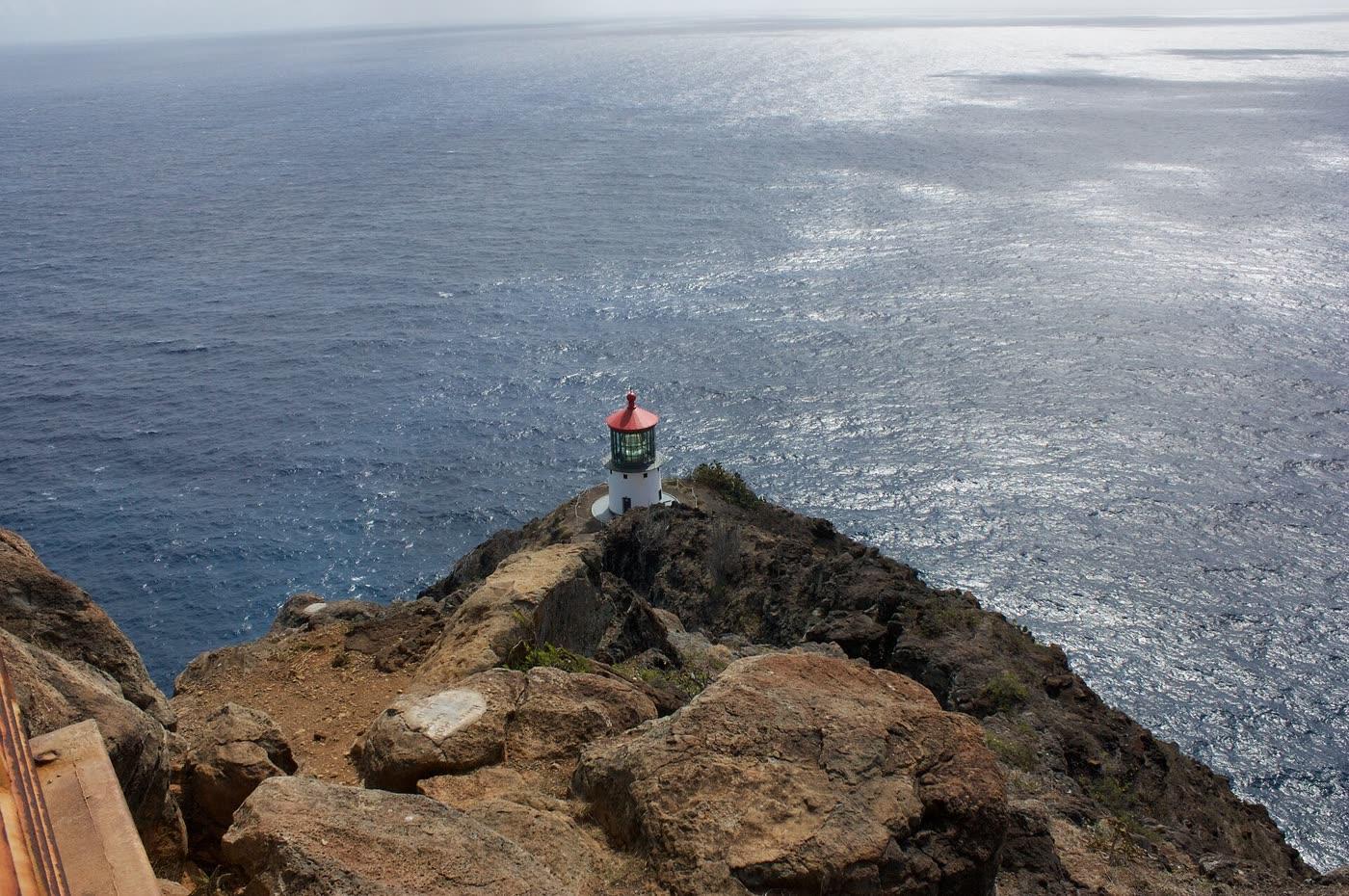
Ewen Roberts · CC BY 2.0
Makapuʻu Point Lighthouse Trail
Makapuʻu · 0.7 mi
A paved former lighthouse road in Kaiwi State Scenic Shoreline. State Parks lists it as 2.0 miles round trip, moderate, with 500 feet of gain. The lighthouse building is off-limits. The tide pools below are a closed area.
Koko Crater tramway
Hawaiʻi Kai · 2.3 mi
The old military tramway up Koko Crater, reached through Koko Head District Park. The city said it reopened July 10, 2025 and told people to stay on the tramway and obey caution tape around summit bunkers.
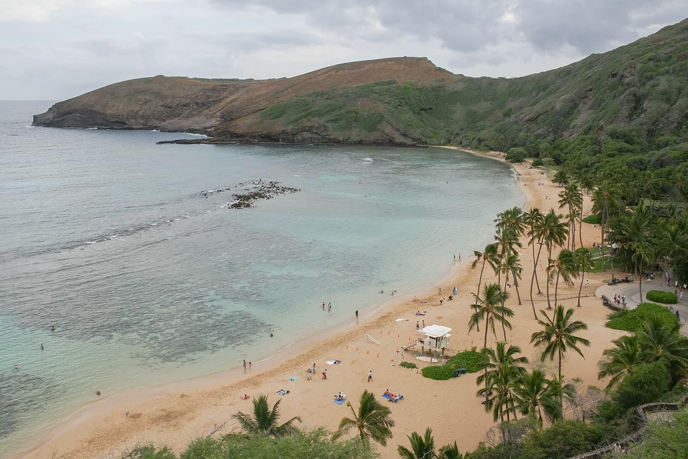
Diego Delso · CC BY-SA 3.0
Hanauma Bay Nature Preserve
Hawaiʻi Kai · 3.6 mi
A city nature preserve and snorkeling bay in east Honolulu. Entry is Wednesday through Sunday. Non-residents pay an entry fee. Every visitor watches the education film on each visit.