The map shows this catalog. Share a location only if you want distance from where you are. If you do not, pick a town. Town centers come from OpenStreetMap. They are not your device, and they are not a surveyed downtown hall unless the note says so.
Optional. The page works without it.
Sorted from Lāʻie, the manual fallback. This is the town’s map center, not a detected position.
4 places within 8 miles
Outline and pins use OpenStreetMap coordinates. The outline is a simplified island shape, not a navigation chart. Pins that share an address are nudged so each one can be opened. Distances use the original coordinates. No tile server and no paid map.
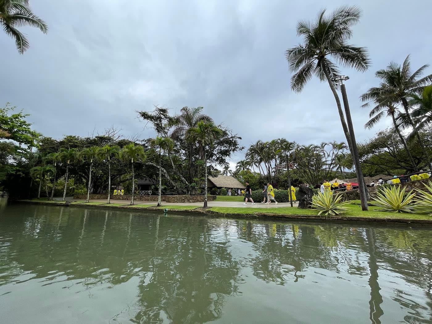
Steven Pavlov · CC BY-SA 4.0
Polynesian Cultural Center
Lāʻie · 0.5 mi
A cultural center in Lāʻie with island villages during the day and an evening show. Tickets are required. The price was not on the hours page reviewed, so it is not printed here.
Kapaʻeleʻele Trail
Kahana · 7.1 mi
A 1.2-mile round trip on the west side of Kahana Bay, past a fishing shrine and a lookout. State Parks rates it easy to moderate, with 130 feet of gain, and says one section is steep and can be slippery.
Nakoa Trail
Kahana · 7.1 mi
A 2.5-mile rainforest loop in Ahupuaʻa ʻO Kahana State Park with three unbridged stream crossings. State Parks rates it moderate to difficult and says it should not be started in heavy rain.
Ted's Bakery
Sunset Beach · 7.3 mi
A North Shore bakery. The find-us page titles the shop Sunset Beach and prints a Haleiwa mailing address. Hours are daily.